Canada Topographic Maps

Uetatshikueutu Ushipissim Topo Maps

Topography maps and Latitude/Longitude Location

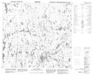
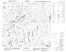
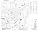
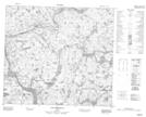
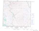
Maps showing Uetatshikueutu Ushipissim, Rivière-Koksoak; Kativik, Quebec

Uetatshikueutu Ushipissim is a River located in Rivière-Koksoak; Kativik, Quebec.

  • Latitude: 56° 55' 24'' North   (decimal: 56.9233333)
  • Longitude: 64° 59' 44'' West   (decimal: -64.9955556)
  • Topography Feature Category: River
  • Geographical Feature: Rivière
  • Canadian Province/Territory: Quebec
  • Location: Rivière-Koksoak; Kativik
  • GPS Coordinate Locator Map: Uetatshikueutu Ushipissim Lat/Long

Uetatshikueutu Ushipissim NTS Map Sheets

014E05 Lac Pilliamet Topographic Map at 1:50,000 scale

014E12 Lac Courdon Topographic Map at 1:50,000 scale

014E13 Lac Lomier Topographic Map at 1:50,000 scale

024A15 Lac Terriault Topographic Map at 1:50,000 scale

024H01 Lac Amarault Topographic Map at 1:50,000 scale

024H02 Lac Peret Topographic Map at 1:50,000 scale

014E North River Topographic Map at 1:250,000 scale

024A Lac Brisson Topographic Map at 1:250,000 scale

024H Lac Henrietta Topographic Map at 1:250,000 scale

 
Buy Topographic Maps DVD
Newsletter Sign-up

Yes, I want to receive map store discounts.


Bookmark and Share