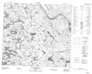
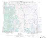
Maps showing Katukuatuepint, Rivière-Koksoak; Kativik, Quebec
Katukuatuepint is a Lake located in Rivière-Koksoak; Kativik, Quebec.
- Latitude: 56° 54' 52'' North (decimal: 56.9144444)
- Longitude: 65° 0' 38'' West (decimal: -65.0105556)
- Topography Feature Category: Lake
- Geographical Feature: Lac
- Canadian Province/Territory: Quebec
- Location: Rivière-Koksoak; Kativik
- GPS Coordinate Locator Map: Katukuatuepint Lat/Long
Katukuatuepint NTS Map Sheets