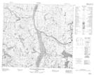
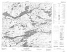
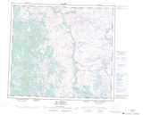
Maps showing Kamishikamats, Rivière-Koksoak; Kativik, Quebec
Kamishikamats is a Lake located in Rivière-Koksoak; Kativik, Quebec.
- Latitude: 56° 25' 47'' North (decimal: 56.4297222)
- Longitude: 64° 18' 46'' West (decimal: -64.3127778)
- Topography Feature Category: Lake
- Geographical Feature: Lac
- Canadian Province/Territory: Quebec
- Location: Rivière-Koksoak; Kativik
- GPS Coordinate Locator Map: Kamishikamats Lat/Long
Kamishikamats NTS Map Sheets