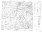
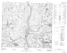
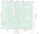
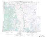
Maps showing Mont Tshiasketnau, Rivière-Koksoak; Kativik, Quebec
Mont Tshiasketnau is a Mountain located in Rivière-Koksoak; Kativik, Quebec.
- Latitude: 56° 0' 20'' North (decimal: 56.0056699)
- Longitude: 64° 38' 57'' West (decimal: -64.6491820)
- Topography Feature Category: Mountain
- Geographical Feature: Mont
- Canadian Province/Territory: Quebec
- Location: Rivière-Koksoak; Kativik
- Atlas of Canada Locator Map: Mont Tshiasketnau
- GPS Coordinate Locator Map: Mont Tshiasketnau Lat/Long
Mont Tshiasketnau NTS Map Sheets