Canada Topographic Maps

Kakatshu Shakahikan Topo Maps

Topography maps and Latitude/Longitude Location

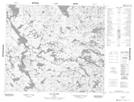
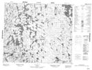
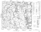
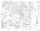
Maps showing Kakatshu Shakahikan, Rivière-Koksoak; Kativik, Quebec

Kakatshu Shakahikan is a Lake located in Rivière-Koksoak; Kativik, Quebec.

  • Latitude: 55° 15' 28'' North   (decimal: 55.2577778)
  • Longitude: 64° 28' 26'' West   (decimal: -64.4738889)
  • Topography Feature Category: Lake
  • Geographical Feature: Lac
  • Canadian Province/Territory: Quebec
  • Location: Rivière-Koksoak; Kativik
  • GPS Coordinate Locator Map: Kakatshu Shakahikan Lat/Long

Kakatshu Shakahikan NTS Map Sheets

023P01 Lac Lacasse Topographic Map at 1:50,000 scale

023P02 Topographic Map at 1:50,000 scale

023P07 Lac Advance Topographic Map at 1:50,000 scale

023P08 Lac Raude Topographic Map at 1:50,000 scale

023P Lac Resolution Topographic Map at 1:250,000 scale

 
Buy Topographic Maps DVD
Newsletter Sign-up

Yes, I want to receive map store discounts.


Bookmark and Share