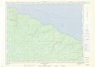
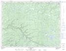
Maps showing Ruisseau du Wilcox, L'Île-d'Anticosti; Minganie, Quebec
Ruisseau du Wilcox is a River located in L'Île-d'Anticosti; Minganie, Quebec.
- Latitude: 49° 43' 15'' North (decimal: 49.7209019)
- Longitude: 62° 56' 3'' West (decimal: -62.9342917)
- Topography Feature Category: River
- Geographical Feature: Ruisseau
- Canadian Province/Territory: Quebec
- Location: L'Île-d'Anticosti; Minganie
- Atlas of Canada Locator Map: Ruisseau du Wilcox
- GPS Coordinate Locator Map: Ruisseau du Wilcox Lat/Long
Ruisseau du Wilcox NTS Map Sheets