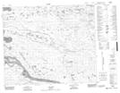
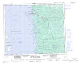
Maps showing Lac Uchistun Aastach, Baie-James; Jamésie, Quebec
Lac Uchistun Aastach is a Lake located in Baie-James; Jamésie, Quebec.
- Latitude: 53° 59' 18'' North (decimal: 53.9883333)
- Longitude: 78° 42' 13'' West (decimal: -78.7036111)
- Topography Feature Category: Lake
- Geographical Feature: Lac
- Canadian Province/Territory: Quebec
- Location: Baie-James; Jamésie
- Atlas of Canada Locator Map: Lac Uchistun Aastach
- GPS Coordinate Locator Map: Lac Uchistun Aastach Lat/Long
Lac Uchistun Aastach NTS Map Sheets