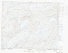
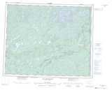
Maps showing Lac Coupe-Feu, Baie-James; Jamésie, Quebec
Lac Coupe-Feu is a Lake located in Baie-James; Jamésie, Quebec.
- Latitude: 52° 22' 22'' North (decimal: 52.3727778)
- Longitude: 70° 37' 44'' West (decimal: -70.6288889)
- Topography Feature Category: Lake
- Geographical Feature: Lac
- Canadian Province/Territory: Quebec
- Location: Baie-James; Jamésie
- Atlas of Canada Locator Map: Lac Coupe-Feu
- GPS Coordinate Locator Map: Lac Coupe-Feu Lat/Long
Lac Coupe-Feu NTS Map Sheets