Canada Topographic Maps

Tekacanowetig Topo Maps

Topography maps and Latitude/Longitude Location

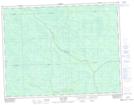
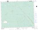
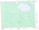
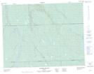
Maps showing Tekacanowetig, Baie-James; Jamésie, Quebec

Tekacanowetig is a River located in Baie-James; Jamésie, Quebec.

  • Latitude: 50° 6' 46'' North   (decimal: 50.1128659)
  • Longitude: 78° 52' 58'' West   (decimal: -78.8828091)
  • Topography Feature Category: River
  • Geographical Feature: Rivière
  • Canadian Province/Territory: Quebec
  • Location: Baie-James; Jamésie
  • GPS Coordinate Locator Map: Tekacanowetig Lat/Long

Tekacanowetig NTS Map Sheets

032E09 Lac Laurin Topographic Map at 1:50,000 scale

032E15 Collines Gaudet Topographic Map at 1:50,000 scale

032E16 Lac Grasset Topographic Map at 1:50,000 scale

032L02 Riviere Rouget Topographic Map at 1:50,000 scale

032E Joutel Topographic Map at 1:250,000 scale

032L Riviere Harricana Topographic Map at 1:250,000 scale

 
Buy Topographic Maps DVD
Newsletter Sign-up

Yes, I want to receive map store discounts.


Bookmark and Share