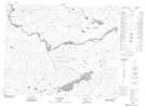
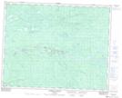
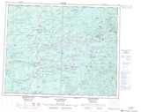
Maps showing Ruisseau Nastimistech Kauchipischeyach, Baie-James; Jamésie, Quebec
Ruisseau Nastimistech Kauchipischeyach is a River located in Baie-James; Jamésie, Quebec and has an elevation of 221 meters.
- Latitude: 51° 21' 28'' North (decimal: 51.3577778)
- Longitude: 77° 47' 1'' West (decimal: -77.7836111)
- Topography Feature Category: River
- Geographical Feature: Ruisseau
- Canadian Province/Territory: Quebec
- Elevation: 221 meters
- Location: Baie-James; Jamésie
- Atlas of Canada Locator Map: Ruisseau Nastimistech Kauchipischeyach
- GPS Coordinate Locator Map: Ruisseau Nastimistech Kauchipischeyach Lat/Long
Ruisseau Nastimistech Kauchipischeyach NTS Map Sheets