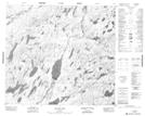
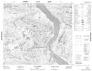
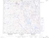
Maps showing Lac aux Outardes, Rivière-Koksoak; Kativik, Quebec
Lac aux Outardes is a Lake located in Rivière-Koksoak; Kativik, Quebec.
- Latitude: 56° 29' 6'' North (decimal: 56.4851348)
- Longitude: 69° 29' 1'' West (decimal: -69.4835276)
- Topography Feature Category: Lake
- Geographical Feature: Lac
- Canadian Province/Territory: Quebec
- Location: Rivière-Koksoak; Kativik
- Atlas of Canada Locator Map: Lac aux Outardes
- GPS Coordinate Locator Map: Lac aux Outardes Lat/Long
Lac aux Outardes NTS Map Sheets