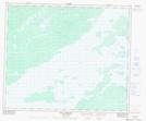
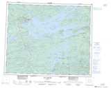
Maps showing Rivière Kapisichikamastikw, Baie-James; Jamésie, Quebec
Rivière Kapisichikamastikw is a River located in Baie-James; Jamésie, Quebec and has an elevation of 178 meters.
- Latitude: 53° 55' 21'' North (decimal: 53.9225)
- Longitude: 76° 44' 24'' West (decimal: -76.74)
- Topography Feature Category: River
- Geographical Feature: Rivière
- Canadian Province/Territory: Quebec
- Elevation: 178 meters
- Location: Baie-James; Jamésie
- Atlas of Canada Locator Map: Rivière Kapisichikamastikw
- GPS Coordinate Locator Map: Rivière Kapisichikamastikw Lat/Long
Rivière Kapisichikamastikw NTS Map Sheets