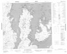
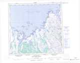
Maps showing Baie Tasiujaaluk, Rivière-Koksoak; Kativik, Quebec
Baie Tasiujaaluk is a Bay located in Rivière-Koksoak; Kativik, Quebec.
- Latitude: 58° 26' 1'' North (decimal: 58.4336111)
- Longitude: 67° 56' 41'' West (decimal: -67.9447222)
- Topography Feature Category: Bay
- Geographical Feature: Baie
- Canadian Province/Territory: Quebec
- Location: Rivière-Koksoak; Kativik
- Atlas of Canada Locator Map: Baie Tasiujaaluk
- GPS Coordinate Locator Map: Baie Tasiujaaluk Lat/Long
Baie Tasiujaaluk NTS Map Sheets