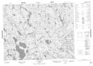
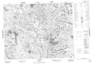
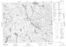
Maps showing Lacs Uhatshimin, Petit-Mécatina; Minganie, Quebec
Lacs Uhatshimin is a Lake located in Petit-Mécatina; Minganie, Quebec and has an elevation of 481 meters.
- Latitude: 51° 29' 43'' North (decimal: 51.4953467)
- Longitude: 61° 1' 55'' West (decimal: -61.0319876)
- Topography Feature Category: Lake
- Geographical Feature: Lacs
- Canadian Province/Territory: Quebec
- Elevation: 481 meters
- Location: Petit-Mécatina; Minganie
- Atlas of Canada Locator Map: Lacs Uhatshimin
- GPS Coordinate Locator Map: Lacs Uhatshimin Lat/Long
Lacs Uhatshimin NTS Map Sheets