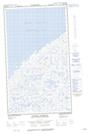
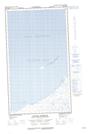
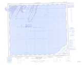
Maps showing Coteau Pinguattait, Baie-d'Hudson; Kativik, Quebec
Coteau Pinguattait is a Cliff located in Baie-d'Hudson; Kativik, Quebec.
- Latitude: 55° 0' 57'' North (decimal: 55.0158333)
- Longitude: 78° 24' 4'' West (decimal: -78.4011111)
- Topography Feature Category: Cliff
- Geographical Feature: Coteau
- Canadian Province/Territory: Quebec
- Location: Baie-d'Hudson; Kativik
- Atlas of Canada Locator Map: Coteau Pinguattait
- GPS Coordinate Locator Map: Coteau Pinguattait Lat/Long
Coteau Pinguattait NTS Map Sheets