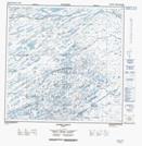
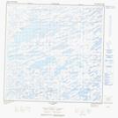
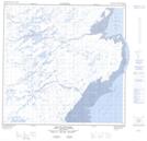
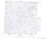
Maps showing Rivière Kingaaluit, Rivière-Koksoak; Kativik, Quebec
Rivière Kingaaluit is a River located in Rivière-Koksoak; Kativik, Quebec.
- Latitude: 59° 42' 2'' North (decimal: 59.7004896)
- Longitude: 69° 53' 45'' West (decimal: -69.8959220)
- Topography Feature Category: River
- Geographical Feature: Rivière
- Canadian Province/Territory: Quebec
- Location: Rivière-Koksoak; Kativik
- Atlas of Canada Locator Map: Rivière Kingaaluit
- GPS Coordinate Locator Map: Rivière Kingaaluit Lat/Long
Rivière Kingaaluit NTS Map Sheets