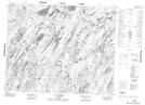
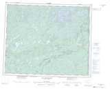
Maps showing Portage Kuweschewehu, Baie-James; Jamésie, Quebec
Portage Kuweschewehu is a Road feature located in Baie-James; Jamésie, Quebec.
- Latitude: 52° 12' 42'' North (decimal: 52.2116667)
- Longitude: 71° 40' 24'' West (decimal: -71.6733333)
- Topography Feature Category: Road feature
- Geographical Feature: Portage
- Canadian Province/Territory: Quebec
- Location: Baie-James; Jamésie
- Atlas of Canada Locator Map: Portage Kuweschewehu
- GPS Coordinate Locator Map: Portage Kuweschewehu Lat/Long
Portage Kuweschewehu NTS Map Sheets