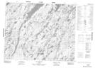
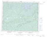
Maps showing Rivière Pluto, Baie-James; Jamésie, Quebec
Rivière Pluto is a River located in Baie-James; Jamésie, Quebec.
- Latitude: 52° 10' 43'' North (decimal: 52.1786111)
- Longitude: 71° 20' 6'' West (decimal: -71.3349999)
- Topography Feature Category: River
- Geographical Feature: Rivière
- Canadian Province/Territory: Quebec
- Location: Baie-James; Jamésie
- Atlas of Canada Locator Map: Rivière Pluto
- GPS Coordinate Locator Map: Rivière Pluto Lat/Long
Rivière Pluto NTS Map Sheets