Canada Topographic Maps

Rivière Des Antons Topo Maps

Topography maps and Latitude/Longitude Location

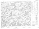
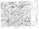
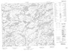
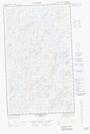
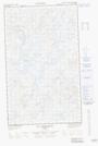
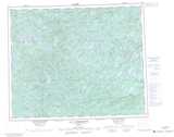
Maps showing Rivière Des Antons, Baie-James; Jamésie, Quebec

Rivière Des Antons is a River located in Baie-James; Jamésie, Quebec.

  • Latitude: 52° 51' 26'' North   (decimal: 52.8573193)
  • Longitude: 73° 35' 25'' West   (decimal: -73.5901472)
  • Topography Feature Category: River
  • Geographical Feature: Rivière
  • Canadian Province/Territory: Quebec
  • Location: Baie-James; Jamésie
  • Atlas of Canada Locator Map: Rivière Des Antons
  • GPS Coordinate Locator Map: Rivière Des Antons Lat/Long

Rivière Des Antons NTS Map Sheets

033A13 Lac Lanfranc Topographic Map at 1:50,000 scale

033A14 Lac Boisseau Topographic Map at 1:50,000 scale

033A15 Lac Pigeon Topographic Map at 1:50,000 scale

033A16E Lac Emmanuel Topographic Map at 1:50,000 scale

033A16W Lac Emmanuel Topographic Map at 1:50,000 scale

033A Lac Rossignol Topographic Map at 1:250,000 scale

 
Buy Topographic Maps DVD
Newsletter Sign-up

Yes, I want to receive map store discounts.


Bookmark and Share