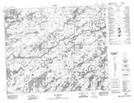
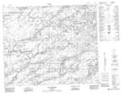
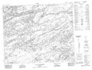
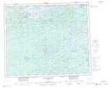
Maps showing Rivière Galinée, Baie-James; Jamésie, Quebec
Rivière Galinée is a River located in Baie-James; Jamésie, Quebec.
- Latitude: 53° 9' 10'' North (decimal: 53.1527778)
- Longitude: 72° 30' 12'' West (decimal: -72.5033333)
- Topography Feature Category: River
- Geographical Feature: Rivière
- Canadian Province/Territory: Quebec
- Location: Baie-James; Jamésie
- Atlas of Canada Locator Map: Rivière Galinée
- GPS Coordinate Locator Map: Rivière Galinée Lat/Long
Rivière Galinée NTS Map Sheets