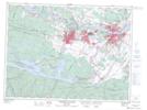
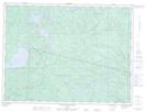
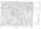
Maps showing Lac à la Perdrix, Mont-Valin; Le Fjord-du-Saguenay, Quebec
Lac à la Perdrix is a Lake located in Mont-Valin; Le Fjord-du-Saguenay, Quebec.
- Latitude: 48° 59' 59'' North (decimal: 48.9997222)
- Longitude: 70° 26' 21'' West (decimal: -70.4391667)
- Topography Feature Category: Lake
- Geographical Feature: Lac
- Canadian Province/Territory: Quebec
- Location: Mont-Valin; Le Fjord-du-Saguenay
- Atlas of Canada Locator Map: Lac à la Perdrix
- GPS Coordinate Locator Map: Lac à la Perdrix Lat/Long
Lac à la Perdrix NTS Map Sheets