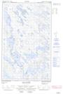
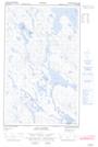
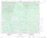
Maps showing Portage Kauihuetauakaht, Lac-Jérôme; Minganie, Quebec
Portage Kauihuetauakaht is a Road feature located in Lac-Jérôme; Minganie, Quebec.
- Latitude: 52° 3' 55'' North (decimal: 52.0652778)
- Longitude: 63° 50' 23'' West (decimal: -63.8397222)
- Topography Feature Category: Road feature
- Geographical Feature: Portage
- Canadian Province/Territory: Quebec
- Location: Lac-Jérôme; Minganie
- Atlas of Canada Locator Map: Portage Kauihuetauakaht
- GPS Coordinate Locator Map: Portage Kauihuetauakaht Lat/Long
Portage Kauihuetauakaht NTS Map Sheets