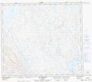
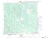
Maps showing Lac Wiswapakus, Rivière-Koksoak; Kativik, Quebec
Lac Wiswapakus is a Lake located in Rivière-Koksoak; Kativik, Quebec.
- Latitude: 56° 33' 8'' North (decimal: 56.5523580)
- Longitude: 67° 51' 45'' West (decimal: -67.8626233)
- Topography Feature Category: Lake
- Geographical Feature: Lac
- Canadian Province/Territory: Quebec
- Location: Rivière-Koksoak; Kativik
- Atlas of Canada Locator Map: Lac Wiswapakus
- GPS Coordinate Locator Map: Lac Wiswapakus Lat/Long
Lac Wiswapakus NTS Map Sheets