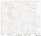
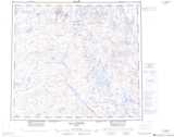
Maps showing Lac Kanimasuch, Rivière-Koksoak; Kativik, Quebec
Lac Kanimasuch is a Lake located in Rivière-Koksoak; Kativik, Quebec.
- Latitude: 56° 42' 53'' North (decimal: 56.7148575)
- Longitude: 68° 33' 43'' West (decimal: -68.5618254)
- Topography Feature Category: Lake
- Geographical Feature: Lac
- Canadian Province/Territory: Quebec
- Location: Rivière-Koksoak; Kativik
- Atlas of Canada Locator Map: Lac Kanimasuch
- GPS Coordinate Locator Map: Lac Kanimasuch Lat/Long
Lac Kanimasuch NTS Map Sheets