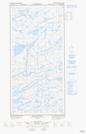
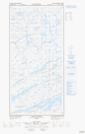
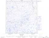
Maps showing Chutes Kuuqqusaq, Rivière-Koksoak; Kativik, Quebec
Chutes Kuuqqusaq is a Falls located in Rivière-Koksoak; Kativik, Quebec.
- Latitude: 61° 37' 7'' North (decimal: 61.6186378)
- Longitude: 74° 40' 48'' West (decimal: -74.6800245)
- Topography Feature Category: Falls
- Geographical Feature: Chutes
- Canadian Province/Territory: Quebec
- Location: Rivière-Koksoak; Kativik
- Atlas of Canada Locator Map: Chutes Kuuqqusaq
- GPS Coordinate Locator Map: Chutes Kuuqqusaq Lat/Long
Chutes Kuuqqusaq NTS Map Sheets