Canada Topographic Maps

Maseres Topo Maps

Topography maps and Latitude/Longitude Location

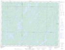
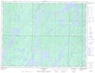
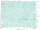
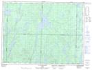
Maps showing Maseres, Senneterre; Vallée-de-l'Or, Quebec

Maseres is a Geographical area located in Senneterre; Vallée-de-l'Or, Quebec.

  • Latitude: 48° 48' North   (decimal: 48.7999999)
  • Longitude: 75° 56' West   (decimal: -75.9333333)
  • Topography Feature Category: Geographical area
  • Geographical Feature: Canton
  • Canadian Province/Territory: Quebec
  • Location: Senneterre; Vallée-de-l'Or
  • Atlas of Canada Locator Map: Maseres
  • GPS Coordinate Locator Map: Maseres Lat/Long

Maseres NTS Map Sheets

032B12 Lac Megiscane Topographic Map at 1:50,000 scale

032B13 Lac Mesplet Topographic Map at 1:50,000 scale

032C09 Lac Achepabanca Topographic Map at 1:50,000 scale

032C16 Lac Wetetnagami Topographic Map at 1:50,000 scale

032B Reservoir Gouin Topographic Map at 1:250,000 scale

032C Senneterre Topographic Map at 1:250,000 scale

 
Buy Topographic Maps DVD
Newsletter Sign-up

Yes, I want to receive map store discounts.


Bookmark and Share