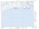
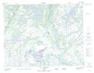
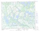
Maps showing Rivière Kegaska, Petit-Mécatina; Minganie, Quebec
Rivière Kegaska is a River located in Petit-Mécatina; Minganie, Quebec and has an elevation of 31 meters.
- Latitude: 50° 10' 45'' North (decimal: 50.1792370)
- Longitude: 61° 21' 8'' West (decimal: -61.3522965)
- Topography Feature Category: River
- Geographical Feature: Rivière
- Canadian Province/Territory: Quebec
- Elevation: 31 meters
- Location: Petit-Mécatina; Minganie
- Atlas of Canada Locator Map: Rivière Kegaska
- GPS Coordinate Locator Map: Rivière Kegaska Lat/Long
Rivière Kegaska NTS Map Sheets