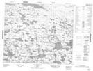
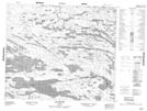
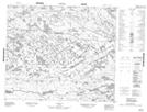
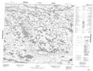
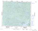
Maps showing Rivière Apakastich, Baie-James; Jamésie, Quebec
Rivière Apakastich is a River located in Baie-James; Jamésie, Quebec.
- Latitude: 54° 29' 30'' North (decimal: 54.4916667)
- Longitude: 77° 14' 5'' West (decimal: -77.2347222)
- Topography Feature Category: River
- Geographical Feature: Rivière
- Canadian Province/Territory: Quebec
- Location: Baie-James; Jamésie
- Atlas of Canada Locator Map: Rivière Apakastich
- GPS Coordinate Locator Map: Rivière Apakastich Lat/Long
Rivière Apakastich NTS Map Sheets