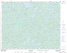
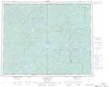
Maps showing Ruisseau Kayechischekaw, Baie-James; Jamésie, Quebec
Ruisseau Kayechischekaw is a River located in Baie-James; Jamésie, Quebec and has an elevation of 276 meters.
- Latitude: 51° 33' 57'' North (decimal: 51.5659280)
- Longitude: 75° 28' 15'' West (decimal: -75.4707639)
- Topography Feature Category: River
- Geographical Feature: Ruisseau
- Canadian Province/Territory: Quebec
- Elevation: 276 meters
- Location: Baie-James; Jamésie
- Atlas of Canada Locator Map: Ruisseau Kayechischekaw
- GPS Coordinate Locator Map: Ruisseau Kayechischekaw Lat/Long
Ruisseau Kayechischekaw NTS Map Sheets