Maps showing Rivière-Windigo, La Tuque; Le Haut-Saint-Maurice, Quebec
Rivière-Windigo is a Other municipal/district area - miscellaneous located in La Tuque; Le Haut-Saint-Maurice, Quebec.
- Latitude: 47° 55' North (decimal: 47.9166999)
- Longitude: 73° 50' West (decimal: -73.8333000)
- Topography Feature Category: Other municipal/district area - miscellaneous
- Geographical Feature: Territoire non organisé
- Canadian Province/Territory: Quebec
- Location: La Tuque; Le Haut-Saint-Maurice
- Atlas of Canada Locator Map: Rivière-Windigo
- GPS Coordinate Locator Map: Rivière-Windigo Lat/Long
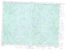
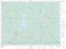
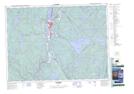
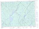
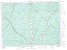
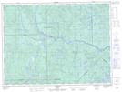
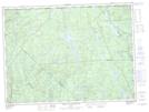
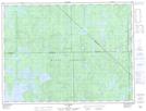
Rivière-Windigo NTS Map Sheets
021M13 Lac Aux Ecorces Topographic Map at 1:50,000 scale
031O15 Parent Topographic Map at 1:50,000 scale
031P02 Lac-Chat Topographic Map at 1:50,000 scale
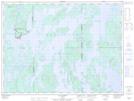
031P07 La Tuque Topographic Map at 1:50,000 scale
031P09 Lac-Edouard Topographic Map at 1:50,000 scale
031P10 La Croche Topographic Map at 1:50,000 scale
031P13 Sanmaur Topographic Map at 1:50,000 scale
031P16 Grand Lac Bostonnais Topographic Map at 1:50,000 scale
032B09 Lac Deziel Topographic Map at 1:50,000 scale
032B10 Lac Duchet Topographic Map at 1:50,000 scale
021M Baie-Saint-Paul Topographic Map at 1:250,000 scale
031O Lac Kempt Topographic Map at 1:250,000 scale
031P La Tuque Topographic Map at 1:250,000 scale
032B Reservoir Gouin Topographic Map at 1:250,000 scale