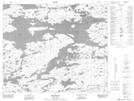
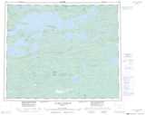
Maps showing Baie Pikwahipanan, Baie-James; Jamésie, Quebec
Baie Pikwahipanan is a Bay located in Baie-James; Jamésie, Quebec and has an elevation of 235 meters.
- Latitude: 53° 43' 34'' North (decimal: 53.7261111)
- Longitude: 74° 36' 50'' West (decimal: -74.6138889)
- Topography Feature Category: Bay
- Geographical Feature: Baie
- Canadian Province/Territory: Quebec
- Elevation: 235 meters
- Location: Baie-James; Jamésie
- Atlas of Canada Locator Map: Baie Pikwahipanan
- GPS Coordinate Locator Map: Baie Pikwahipanan Lat/Long
Baie Pikwahipanan NTS Map Sheets