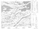
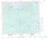
Maps showing La Grande-Quatre, Baie-James; Jamésie, Quebec
La Grande-Quatre is a Unincorporated area located in Baie-James; Jamésie, Quebec and has an elevation of 387 meters.
- Latitude: 53° 49' 8'' North (decimal: 53.8188889)
- Longitude: 73° 31' 32'' West (decimal: -73.5255556)
- Topography Feature Category: Unincorporated area
- Geographical Feature: Lieu-dit
- Canadian Province/Territory: Quebec
- Elevation: 387 meters
- Location: Baie-James; Jamésie
- Atlas of Canada Locator Map: La Grande-Quatre
- GPS Coordinate Locator Map: La Grande-Quatre Lat/Long
La Grande-Quatre NTS Map Sheets