Canada Topographic Maps

Baie King-George Topo Maps

Topography maps and Latitude/Longitude Location

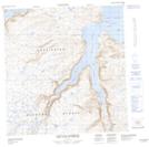
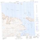
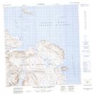
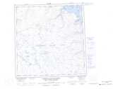
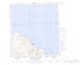
Maps showing Baie King-George, Rivière-Koksoak; Kativik, Quebec

Baie King-George is a Bay located in Rivière-Koksoak; Kativik, Quebec and has an elevation of 0 meters.

  • Latitude: 61° 56' 15'' North   (decimal: 61.9375)
  • Longitude: 72° 29' 1'' West   (decimal: -72.4836111)
  • Topography Feature Category: Bay
  • Geographical Feature: Baie
  • Canadian Province/Territory: Quebec
  • Elevation: 0 meters
  • Location: Rivière-Koksoak; Kativik
  • Atlas of Canada Locator Map: Baie King-George
  • GPS Coordinate Locator Map: Baie King-George Lat/Long

Baie King-George NTS Map Sheets

035H15 Douglas Harbour Topographic Map at 1:50,000 scale

035H16 Fisher Bay Topographic Map at 1:50,000 scale

035I01 Maiden Island Topographic Map at 1:50,000 scale

035I02 Promontoire De Martigny Topographic Map at 1:50,000 scale

035H Cratere Du Nouveau-Quebec Topographic Map at 1:250,000 scale

035I Cap De Nouvelle-France Topographic Map at 1:250,000 scale

 
Buy Topographic Maps DVD
Newsletter Sign-up

Yes, I want to receive map store discounts.


Bookmark and Share