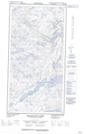
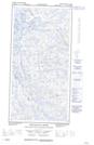
Maps showing Baie Polunin, Rivière-Koksoak; Kativik, Quebec
Baie Polunin is a Bay located in Rivière-Koksoak; Kativik, Quebec and has an elevation of 2 meters.
- Latitude: 60° 8' 31'' North (decimal: 60.1419444)
- Longitude: 64° 57' 53'' West (decimal: -64.9647222)
- Topography Feature Category: Bay
- Geographical Feature: Baie
- Canadian Province/Territory: Quebec
- Elevation: 2 meters
- Location: Rivière-Koksoak; Kativik
- Atlas of Canada Locator Map: Baie Polunin
- GPS Coordinate Locator Map: Baie Polunin Lat/Long
Baie Polunin NTS Map Sheets