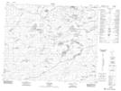
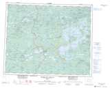
Maps showing Lac Kamaschekwakamach, Baie-James; Jamésie, Quebec
Lac Kamaschekwakamach is a Lake located in Baie-James; Jamésie, Quebec.
- Latitude: 52° 38' 18'' North (decimal: 52.6383333)
- Longitude: 77° 44' 53'' West (decimal: -77.7480556)
- Topography Feature Category: Lake
- Geographical Feature: Lac
- Canadian Province/Territory: Quebec
- Location: Baie-James; Jamésie
- Atlas of Canada Locator Map: Lac Kamaschekwakamach
- GPS Coordinate Locator Map: Lac Kamaschekwakamach Lat/Long
Lac Kamaschekwakamach NTS Map Sheets