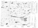
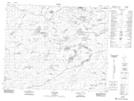
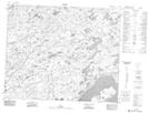
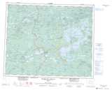
Maps showing Rivière Pikutimastikw, Baie-James; Jamésie, Quebec
Rivière Pikutimastikw is a River located in Baie-James; Jamésie, Quebec and has an elevation of 129 meters.
- Latitude: 52° 45' 16'' North (decimal: 52.7544444)
- Longitude: 77° 32' 57'' West (decimal: -77.5491667)
- Topography Feature Category: River
- Geographical Feature: Rivière
- Canadian Province/Territory: Quebec
- Elevation: 129 meters
- Location: Baie-James; Jamésie
- Atlas of Canada Locator Map: Rivière Pikutimastikw
- GPS Coordinate Locator Map: Rivière Pikutimastikw Lat/Long
Rivière Pikutimastikw NTS Map Sheets