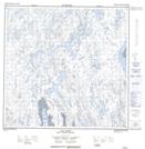
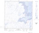
Maps showing Rivière Aarsutaup, Rivière-Koksoak; Kativik, Quebec
Rivière Aarsutaup is a River located in Rivière-Koksoak; Kativik, Quebec and has an elevation of 2 meters.
- Latitude: 59° 18' 34'' North (decimal: 59.3093726)
- Longitude: 69° 43' 7'' West (decimal: -69.7187102)
- Topography Feature Category: River
- Geographical Feature: Rivière
- Canadian Province/Territory: Quebec
- Elevation: 2 meters
- Location: Rivière-Koksoak; Kativik
- Atlas of Canada Locator Map: Rivière Aarsutaup
- GPS Coordinate Locator Map: Rivière Aarsutaup Lat/Long
Rivière Aarsutaup NTS Map Sheets