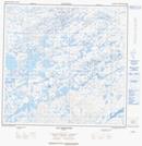
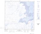
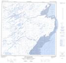
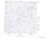
Maps showing Rivière Aulassiviup, Rivière-Koksoak; Kativik, Quebec
Rivière Aulassiviup is a River located in Rivière-Koksoak; Kativik, Quebec and has an elevation of 114 meters.
- Latitude: 59° 31' 22'' North (decimal: 59.5227105)
- Longitude: 69° 56' 49'' West (decimal: -69.9470452)
- Topography Feature Category: River
- Geographical Feature: Rivière
- Canadian Province/Territory: Quebec
- Elevation: 114 meters
- Location: Rivière-Koksoak; Kativik
- Atlas of Canada Locator Map: Rivière Aulassiviup
- GPS Coordinate Locator Map: Rivière Aulassiviup Lat/Long
Rivière Aulassiviup NTS Map Sheets