Canada Topographic Maps

Zec Onatchiway Topo Maps

Topography maps and Latitude/Longitude Location

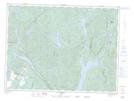
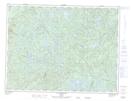
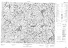
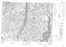
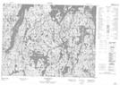
Maps showing Zec Onatchiway, Mont-Valin; Le Fjord-du-Saguenay, Quebec

Zec Onatchiway is a Conservation area located in Mont-Valin; Le Fjord-du-Saguenay, Quebec.

  • Latitude: 49° 5' 5'' North   (decimal: 49.0847222)
  • Longitude: 70° 49' 0'' West   (decimal: -70.8166667)
  • Topography Feature Category: Conservation area
  • Geographical Feature: Zone d'exploitation contrôlée
  • Canadian Province/Territory: Quebec
  • Location: Mont-Valin; Le Fjord-du-Saguenay
  • Atlas of Canada Locator Map: Zec Onatchiway
  • GPS Coordinate Locator Map: Zec Onatchiway Lat/Long

Zec Onatchiway NTS Map Sheets

022D14 Lac Vermont Topographic Map at 1:50,000 scale

022D15 Lac Moncouche Topographic Map at 1:50,000 scale

022E02 Lac Maria-Chapdelaine Topographic Map at 1:50,000 scale

022E03 Petit Lac Onatchiway Topographic Map at 1:50,000 scale

022E07 Lac Rouvray Topographic Map at 1:50,000 scale

022D Chicoutimi Topographic Map at 1:250,000 scale

022E Reservoir Pipmuacan Topographic Map at 1:250,000 scale

 
Buy Topographic Maps DVD
Newsletter Sign-up

Yes, I want to receive map store discounts.


Bookmark and Share