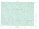
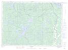
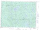
Maps showing Zec Pontiac, Lac-Pythonga; La Vallée-de-la-Gatineau, Quebec
Zec Pontiac is a Conservation area located in Lac-Pythonga; La Vallée-de-la-Gatineau, Quebec.
- Latitude: 46° 27' North (decimal: 46.4500000)
- Longitude: 76° 35' West (decimal: -76.5832999)
- Topography Feature Category: Conservation area
- Geographical Feature: Zone d'exploitation contrôlée
- Canadian Province/Territory: Quebec
- Location: Lac-Pythonga; La Vallée-de-la-Gatineau
- Atlas of Canada Locator Map: Zec Pontiac
- GPS Coordinate Locator Map: Zec Pontiac Lat/Long
Zec Pontiac NTS Map Sheets