Maps showing Monts Groulx, Rivière-Mouchalagane; Caniapiscau, Quebec
Monts Groulx is a Mountain located in Rivière-Mouchalagane; Caniapiscau, Quebec and has an elevation of 960 meters.
- Latitude: 51° 37' 15'' North (decimal: 51.6208333)
- Longitude: 67° 37' 3'' West (decimal: -67.6175)
- Topography Feature Category: Mountain
- Geographical Feature: Massif
- Canadian Province/Territory: Quebec
- Elevation: 960 meters
- Location: Rivière-Mouchalagane; Caniapiscau
- Atlas of Canada Locator Map: Monts Groulx
- GPS Coordinate Locator Map: Monts Groulx Lat/Long
Monts Groulx NTS Map Sheets
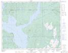
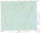
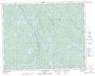
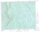
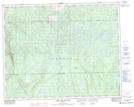
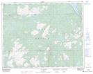
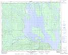
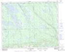
022N09 Riviere Hart Jaune Topographic Map at 1:50,000 scale
022O05 Lac Grandmesnil Topographic Map at 1:50,000 scale
022O06 Lac Catoua Topographic Map at 1:50,000 scale
022O10 Lac Boudart Topographic Map at 1:50,000 scale
022O11 Montagne Blanche Topographic Map at 1:50,000 scale
022O12 Lac Raudot Topographic Map at 1:50,000 scale
022O13 Petit Lac Manicouagan Topographic Map at 1:50,000 scale
022O14 Lac Gaillarbois Topographic Map at 1:50,000 scale
022O15 Rapide Du Diable Topographic Map at 1:50,000 scale
022N Reservoir Manicouagan Topographic Map at 1:250,000 scale
022O Lac Fouquet Topographic Map at 1:250,000 scale