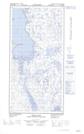
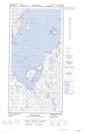
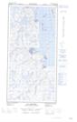
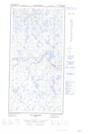
Maps showing Île Opingivik, Rivière-Koksoak; Kativik, Quebec
Île Opingivik is a Island located in Rivière-Koksoak; Kativik, Quebec and has an elevation of 4 meters.
- Latitude: 60° 55' 26'' North (decimal: 60.9238467)
- Longitude: 69° 59' 19'' West (decimal: -69.9887492)
- Topography Feature Category: Island
- Geographical Feature: Île / Ile
- Canadian Province/Territory: Quebec
- Elevation: 4 meters
- Location: Rivière-Koksoak; Kativik
- Atlas of Canada Locator Map: Île Opingivik
- GPS Coordinate Locator Map: Île Opingivik Lat/Long
Île Opingivik NTS Map Sheets