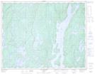
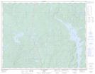
Maps showing Lac Perron, Rivière-aux-Outardes; Manicouagan, Quebec
Lac Perron is a Lake located in Rivière-aux-Outardes; Manicouagan, Quebec.
- Latitude: 50° 14' 35'' North (decimal: 50.2430851)
- Longitude: 68° 49' 25'' West (decimal: -68.8234792)
- Topography Feature Category: Lake
- Geographical Feature: Lac
- Canadian Province/Territory: Quebec
- Location: Rivière-aux-Outardes; Manicouagan
- Atlas of Canada Locator Map: Lac Perron
- GPS Coordinate Locator Map: Lac Perron Lat/Long
Lac Perron NTS Map Sheets