Maps showing Petite rivière de Puvirnituq, Baie-d'Hudson; Kativik, Quebec
Petite rivière de Puvirnituq is a River located in Baie-d'Hudson; Kativik, Quebec.
- Latitude: 61° 10' 5'' North (decimal: 61.1680482)
- Longitude: 75° 45' 23'' West (decimal: -75.7564882)
- Topography Feature Category: River
- Geographical Feature: Rivière
- Canadian Province/Territory: Quebec
- Location: Baie-d'Hudson; Kativik
- Atlas of Canada Locator Map: Petite rivière de Puvirnituq
- GPS Coordinate Locator Map: Petite rivière de Puvirnituq Lat/Long
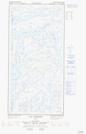
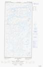
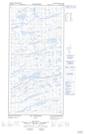
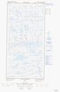
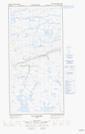
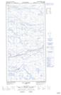
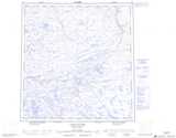
Petite rivière de Puvirnituq NTS Map Sheets
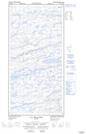
035G04E Lac Allemand Topographic Map at 1:50,000 scale
035G04W Lac Allemand Topographic Map at 1:50,000 scale
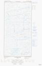
035G05E Lac Chukotat Topographic Map at 1:50,000 scale
035G05W Lac Chukotat Topographic Map at 1:50,000 scale
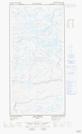
035G06E Lac Belanger Topographic Map at 1:50,000 scale
035G06W Lac Belanger Topographic Map at 1:50,000 scale
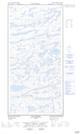
035G07E Lac Dumas Topographic Map at 1:50,000 scale
035G07W Lac Dumas Topographic Map at 1:50,000 scale
035G08E Lac Forcier Topographic Map at 1:50,000 scale
035G08W Lac Forcier Topographic Map at 1:50,000 scale
035G Lacs Nuvilic Topographic Map at 1:250,000 scale