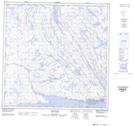
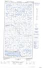
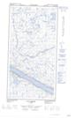
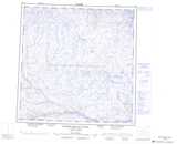
Maps showing Plateau Natirnaaluk, Rivière-Koksoak; Kativik, Quebec
Plateau Natirnaaluk is a Plain located in Rivière-Koksoak; Kativik, Quebec and has an elevation of 107 meters.
- Latitude: 60° 2' 48'' North (decimal: 60.0466049)
- Longitude: 70° 12' 21'' West (decimal: -70.2058997)
- Topography Feature Category: Plain
- Geographical Feature: Plateau
- Canadian Province/Territory: Quebec
- Elevation: 107 meters
- Location: Rivière-Koksoak; Kativik
- Atlas of Canada Locator Map: Plateau Natirnaaluk
- GPS Coordinate Locator Map: Plateau Natirnaaluk Lat/Long
Plateau Natirnaaluk NTS Map Sheets