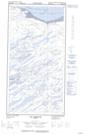
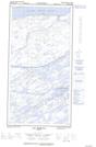
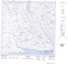
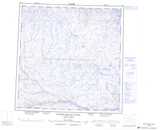
Maps showing Récif Pirqutinnguaq, Rivière-Koksoak; Kativik, Quebec
Récif Pirqutinnguaq is a Shoal located in Rivière-Koksoak; Kativik, Quebec and has an elevation of 7 meters.
- Latitude: 60° 0' 4'' North (decimal: 60.0010488)
- Longitude: 70° 5' 42'' West (decimal: -70.0950700)
- Topography Feature Category: Shoal
- Geographical Feature: Récif
- Canadian Province/Territory: Quebec
- Elevation: 7 meters
- Location: Rivière-Koksoak; Kativik
- Atlas of Canada Locator Map: Récif Pirqutinnguaq
- GPS Coordinate Locator Map: Récif Pirqutinnguaq Lat/Long
Récif Pirqutinnguaq NTS Map Sheets