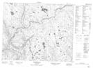
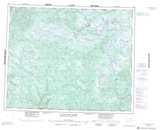
Maps showing Rivière Matse, Petit-Mécatina; Minganie, Quebec
Rivière Matse is a River located in Petit-Mécatina; Minganie, Quebec.
- Latitude: 52° 2' 50'' North (decimal: 52.0472998)
- Longitude: 59° 26' 49'' West (decimal: -59.4468926)
- Topography Feature Category: River
- Geographical Feature: Rivière
- Canadian Province/Territory: Quebec
- Location: Petit-Mécatina; Minganie
- Atlas of Canada Locator Map: Rivière Matse
- GPS Coordinate Locator Map: Rivière Matse Lat/Long
Rivière Matse NTS Map Sheets