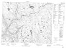
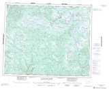
Maps showing Rivière Michaels, Petit-Mécatina; Minganie, Quebec
Rivière Michaels is a River located in Petit-Mécatina; Minganie, Quebec.
- Latitude: 52° 5' 45'' North (decimal: 52.0959106)
- Longitude: 59° 26' 18'' West (decimal: -59.4382793)
- Topography Feature Category: River
- Geographical Feature: Rivière
- Canadian Province/Territory: Quebec
- Location: Petit-Mécatina; Minganie
- Atlas of Canada Locator Map: Rivière Michaels
- GPS Coordinate Locator Map: Rivière Michaels Lat/Long
Rivière Michaels NTS Map Sheets