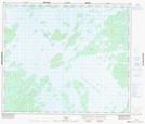
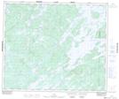
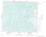
Maps showing Le Chant des Sirènes, Caniapiscau; Caniapiscau, Quebec
Le Chant des Sirènes is a Island located in Caniapiscau; Caniapiscau, Quebec.
- Latitude: 54° 10' 35'' North (decimal: 54.1765034)
- Longitude: 70° 0' 7'' West (decimal: -70.0019190)
- Topography Feature Category: Island
- Geographical Feature: Île / Ile
- Canadian Province/Territory: Quebec
- Location: Caniapiscau; Caniapiscau
- Atlas of Canada Locator Map: Le Chant des Sirènes
- GPS Coordinate Locator Map: Le Chant des Sirènes Lat/Long
Le Chant des Sirènes NTS Map Sheets