Maps showing Le Jardin au Bout du Monde, Caniapiscau; Caniapiscau, Quebec
Le Jardin au Bout du Monde is a Island located in Caniapiscau; Caniapiscau, Quebec.
- Latitude: 54° 23' 7'' North (decimal: 54.3853932)
- Longitude: 69° 52' 47'' West (decimal: -69.8796877)
- Topography Feature Category: Island
- Geographical Feature: Archipel
- Canadian Province/Territory: Quebec
- Location: Caniapiscau; Caniapiscau
- Atlas of Canada Locator Map: Le Jardin au Bout du Monde
- GPS Coordinate Locator Map: Le Jardin au Bout du Monde Lat/Long
Le Jardin au Bout du Monde NTS Map Sheets
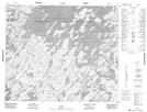
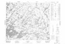
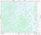
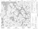
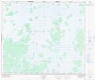
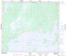
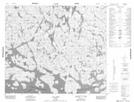
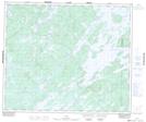
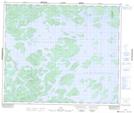
023F13 Topographic Map at 1:50,000 scale
023K03 Lac Pierron Topographic Map at 1:50,000 scale
023K04 Topographic Map at 1:50,000 scale
023K05 Lac Salvert Topographic Map at 1:50,000 scale
023K06 Lac Lantagnac Topographic Map at 1:50,000 scale
023K07 Lac Rousson Topographic Map at 1:50,000 scale
023K11 Lac Presles Topographic Map at 1:50,000 scale
023K12 Lac Sorelet Topographic Map at 1:50,000 scale
023K13 Lac Pau Topographic Map at 1:50,000 scale
023K14 Lac Lagny Topographic Map at 1:50,000 scale
023L01 Topographic Map at 1:50,000 scale
023L08 Topographic Map at 1:50,000 scale
023L09 Lac Civrac Topographic Map at 1:50,000 scale
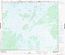
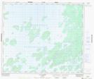
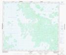
023F Lac Bermen Topographic Map at 1:250,000 scale
023K Caniapiscau Topographic Map at 1:250,000 scale
023L Lac Hurault Topographic Map at 1:250,000 scale